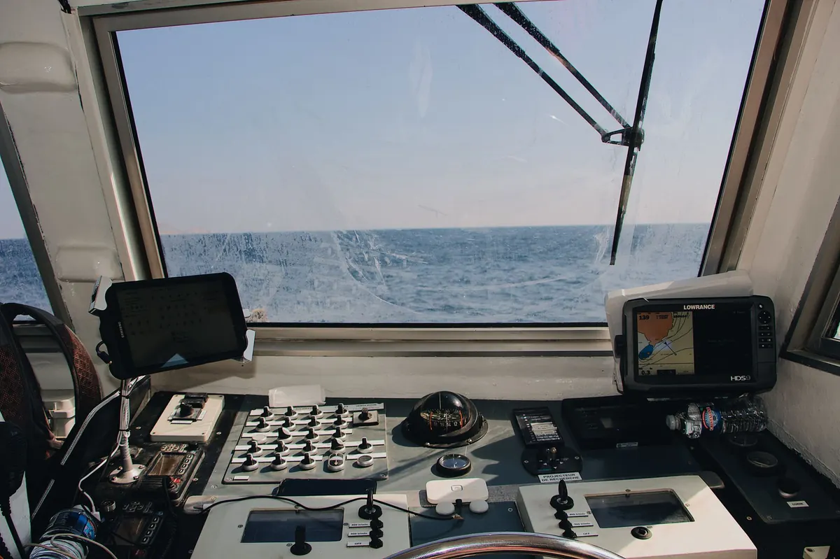
The engine is warm, the lines are off, and everyone is looking at you. Before you answer with a confident nod, give the forecast one more honest look. A marine forecast is not a single number to obey or ignore. It is a short story about pressure, wind, sea state, and time. Read it in the right order and you will know not only what the weather is doing, but when it will change and whether your plan still makes sense.
Start With the Big Picture
Open the synopsis before you open the wind chart. Where is the high? Where is the low? Is a front approaching, stalling, or clearing? A ridge of high pressure over your cruising area usually means settled weather, lighter winds, and afternoon sea breezes. A deepening low or a sharp trough means the opposite: more cloud, more wind, and a forecast that may shift with each update.
Look at the isobars, the lines of equal pressure. Tight spacing means a strong pressure gradient and stronger wind; wide spacing means lighter air. If the chart shows a cold front due west of your harbor and moving east, do not fixate on the 10-knot morning wind. Ask what the wind will be doing after the front passes. That is the number that will meet you on the way home.
Read Wind in Three Layers
Wind forecasts are usually written as a direction, an average speed, and a gust. Treat those as three separate questions, because each one affects a different part of your day.
Direction Is a Route Question
A wind from 220 degrees at 12 knots is not simply “a bit breezy.” It is onshore at an exposed harbor entrance, offshore at a sheltered bay, and beam-on at the leg you planned to sail close-hauled. Check the direction against your actual route, not against the compass rose in the abstract. Also note whether the direction is expected to veer (clockwise, for example from southwest to west) or back (counterclockwise). A veer during the day can turn a comfortable reach into a hard beat.
Average Speed Is a Planning Number
The average speed tells you what the day will mostly feel like. Ten to twelve knots is often pleasant for a coastal sail; eighteen to twenty is a different outing, especially in an open boat or a light displacement hull. Compare the forecast with your own comfort level and the least experienced person aboard. If the average is already at your upper limit, the gusts will push you past it.
Gusts Are the Real Weather
A forecast of 15 knots gusting 25 is not a 15-knot day with a little extra. The gust is the part that heels the boat, tests the anchor, and makes a harbor entrance feel narrow. Look for the gust spread and the wording around it: “occasional gusts,” “strong gusts near showers,” “gusts to.” If the spread is wide, shorten sail early, reef before you need to, and give yourself more room than usual.
Timing Beats Averages
An average hides the moment when the weather changes. Most marine forecasts include a trend: building, easing, veering, backing, or a front arriving at a stated time. A line such as “wind southwest 12 to 16 knots, veering west 18 to 22 knots in the afternoon” is a schedule, not a single condition. Plan your departure and return around that schedule.
Hourly forecast panels are useful, but read them as a trend rather than a promise. If the wind curve steepens between 13:00 and 16:00, that is your window to be back in harbor or to choose a shorter route. The same applies to rain radar and cloud forecasts: a band of showers can bring a brief gust front ahead of it, even if the average wind stays modest. Watch the barometer too. A steady or rising glass supports a settled forecast; a falling glass, especially a quick drop, deserves a second look at the synopsis.
Sea State: Height Is Only Half the Story
Wave height gets the attention, but period and direction decide what the height feels like. Two metres at five seconds is a short, steep chop that stops a small boat and makes crew miserable. Two metres at eleven seconds is a long swell that a well-handled boat can meet comfortably, provided the direction is manageable. Check both numbers when they are available.
Direction matters as much as size. A swell running against the wind creates steep, awkward seas; wind against tide at a harbor entrance can do the same. If the forecast shows a swell direction that opposes your course or the tidal stream, add margin to your timing and fuel. And remember that the sea state near shore can be worse than the open-water forecast because of shoaling, current, and rebound off headlands.
Decoding the Symbols and Shorthand
Forecast products vary, but a few conventions appear again and again. Learn them once and the page becomes much faster to read.
- Wind barbs: the shaft shows direction, the feathers show speed. More full feathers mean more wind; half feathers count as five knots.
- Isobars: the closer the lines, the stronger the pressure gradient and the windier the forecast.
- Fronts: a cold front often brings a wind shift and gusts; a warm front can bring drizzle and a gradual veer. A trough can be a zone of unsettled, showery weather.
- Terms such as veering and backing: veering means the wind shifts clockwise; backing means counterclockwise. Both matter more than the compass point alone.
- Sea state wording: slight, moderate, rough, and very rough are broad bands, not exact heights. Use the height and period numbers when they are given.
- Occasional, isolated, and frequent: these words describe how likely or widespread a feature is. “Occasional gusts” is not the same as “frequent gusts.”
Check Your Harbor’s Blind Spots
Every harbor has a local personality. A north wind may be harmless outside but funnel through a valley and hit the marina hard. A summer sea breeze may fill in at 11:00 and turn a calm morning into a brisk afternoon. Ask local sailors, read the harbor’s own weather station if it has one, and compare the general forecast with what you can see: flags, trees, moored boats, and the surface of the water.
Use more than one source when the decision matters. Compare the official marine forecast, a trusted model page, and the actual observations nearby. When they disagree, trust the trend and the official warnings first. A forecast is guidance, not a guarantee; carry the appropriate safety equipment, file a float plan when needed, and be willing to change the plan.
A Five-Minute Routine Before You Cast Off
Before you start the engine, run this quick check:
- Read the synopsis and pressure chart. Note the position and motion of highs, lows, and fronts.
- Write down wind direction, average speed, gust range, and the expected trend for your departure, halfway point, and return.
- Check sea state height, period, and direction, then compare it with tide and current at the harbor entrance.
- Scan the symbols and the warnings. Look for the words that change your plan: gusts, veering, building, squalls, or a front arriving earlier than expected.
- Set a personal threshold and a turnaround time. If either is crossed, turn back or stay in harbor without debate.
Then step onto the dock and look at the sky. The forecast gives you the pattern; the sky gives you the update. A dark line of cloud, a sudden shift in wind, or a rapid drop in pressure is your cue to act early. Reading a marine forecast well is not about memorizing every symbol. It is about knowing which few details will decide your day, and checking them in the same order every time.
Photo: Maël BALLAND / Pexels